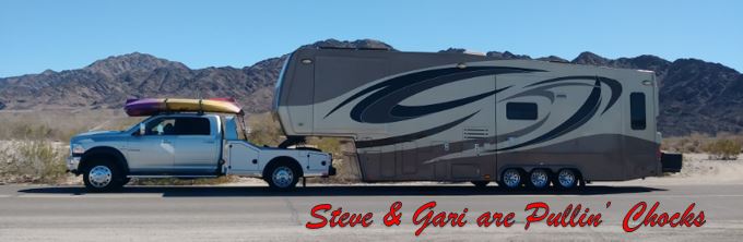
We continued our southward migration the first week in September and moved from Gunnison, Colorado to Cortez, Colorado. Gunnison is in the Central-South-Central part of the state, and Cortez is in the Southwest corner of the state. It was just under a 200 mile day for us. Right around our normal target distance for one day's drive. This move was a little different from many of our moves, this one is across mountainous Colorado. While this section of the state does not have the largest Colorado mountains by far, it still had more mountainous terrain than we are accustomed to pulling our trailer through. With Pepé the old F-450 and no exhaust brake, we went to lengths to select routes that avoided significant grades. With our new Ram 5500 Romeo and a nice turbo exhaust brake, we are less concerned and will now take more challenging roadways. We love the mountains and love to see rocky outcroppings as we call them. We can't get enough of that type of scenery and end up taking lots of pictures when we see it. In this post we share a few pictures captured on this move, because we love the scenery and hope you will too. The camera mostly cannot capture the entirety of the magnificence, and these photos were taken through the windshield from the navigator's seat going anywhere from 30 to 60 mph, but I think they get the general idea across.
Our route took us from the campground in Gunnison west on Rt 50 to Montrose, then south on Rt 550, which we have heard called "The Million Dollar Highway" to Ridgway. From Ridgway we jumped off of Rt 550 to avoid the most brutal sections of Rt 550 through Ouray, (Ooooray) CO and picked up Rt 62 to Placerville. From Placerville we turned south onto Rt 145, which we took through Telluride, Ames, Rico and into Cortez. Without further ado, please enjoy the scenery photos below.
Out on Rt 50 west, we first passed the volcanic Dillon Pinnacles just a few miles from our campground in Gunnison.
Just behind the Pinnacles is another interesting rocky feature. So long Blue Mesa...
Heading downstream along side the Gunnison river on Rt 50 West as we make our way toward Montrose, Colorado.
The long downhill run begins to introduce more turns.
A little color is starting to show with a nice rocky outcropping on the right.
The canyon begins to open up coming into Montrose. That big rock on the right looks like it could roll down the hill very easily...
The landscape opens up around Montrose and we see a prominent mesa feature.
We begin to see larger mountains.
Some nice protruding rocks on this slope below.
We will be in Montrose anytime now.
We made our first turn as we left Rt 50W and turned south onto Rt 550, "The Million Dollar Highway" in downtown Montrose, Colorado. We passed the bronze sculpture that is described by some as "a bad idea". Things may not end well if you rope a buck on horseback!
Heading toward Ridgway we can see the mountains that we are headed directly for...
There are a lot of peaky points on that mountain range.
The mountains seem to be all around us.
We noticed some local dwellings with spectacular views of the mountain.
At this point we passed through Ridgway, Colorado. We are now taking Rt 62W into Placerville, Colorado where we will pick up Rt 145S that will take us through Telluride and into Cortez, Colorado.
Rt 62W scenery
Another nice rocky outcropping on this slope. The rocks are a darker red in this example.
More red rocks...
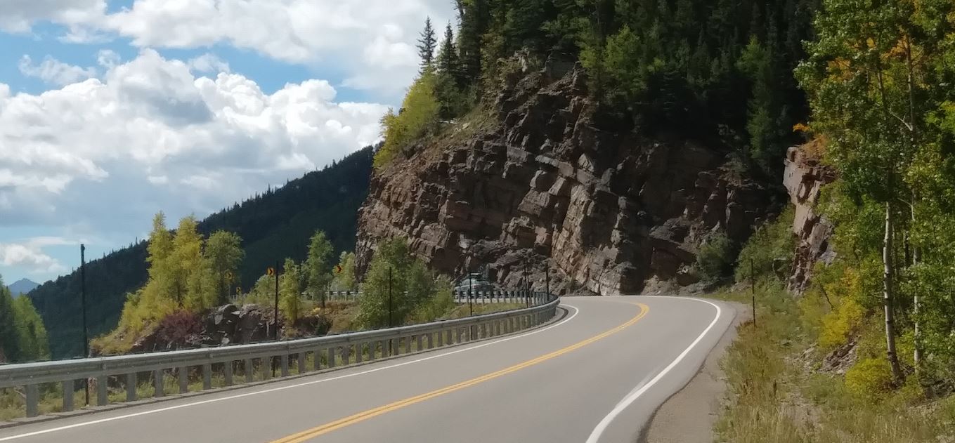
The road cut trough some rocks in this area.
More high canyon walls here as we follow Leopard Creek toward Placerville, Colorado
This section of canyon wall appears layered.
We see more color contrast beginning to show as we turn toward Telluride, now on Rt 145S.
The road continues to twist and turn through the solid rock mountains.
This is some scenery coming into Telluride, Colorado
The shot below is near our turn south onto Rt 145 just west of Telluride
Now on past Telluride, we see that the weather conditions are beginning to change...
A nice sheer granite cliff off to our right.
More magnificent colors emerging on the mountains.
The road is now following the Delores River, and this twisting roller-coaster of a ride is not over yet!
More rocks ahead.
View of the pilots seat from the navigator's side. Zazu monitors the electronics... see him peeking out of his cubby-hole?
This is the navigator's seat. Bingo the dog watches the peacemaker.