2016 East Coast Loop v1.1
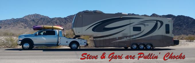
This is a little insight into our travel process. This year we have a few specific family members and friends that we are going to try and visit and we posted earlier a rough path that we may take to accomplish those goals. Since then things have become much more real. We are on the move and need to decide on places to stay and actually find them and verify vacancy. We start with looking at direction and specific paths and consider the weather and other natural or unnatural disasters ahead on the road and adjust our path accordingly. We also spend time looking at each road ensuring we meet weight, height and width limits. We also consider construction schedules in choosing our path. Once we have all that settled, we start loking for places to park. If we know it is only an overnight, we like to just dry camp on any safe spot we can legally park. We don't unhook, and we don't deploy slides. We like to pick spots that are not too far off of our chosen route. It is nice not to add a 50 mile round trip just getting to an overnight parking spot. We like getting up, having coffee and breakfast and jumping in the truck and being back on the road in 5 minutes or less after we start up Pepe.The map below is a revised version (v1.1) that actually identifies target parking destinations. We haven't gotten to the return west portion of the 2016 Loop yet.... plenty of time to figure that out. We don't make reservations so we don't yet know if we have to adjust in realtime. That happened coming into Benson, AZ. We had planned on staying in an Escapees Park there, but when we called 100 miles out they informed us that there was no room for us. A little Web surfing identified a few other parks in the same town and we got the next one we called, Valley Vista RV Resort. If all else fails we need about 60 feet of open space to park. Out west there are lots of places to pull off and the ground is hard and smooth enough to drive over and park. Back east things are a bit trickier.

The waypoints we have targeted are denoted on the map by the circled letters. They go from A to I and then start over at A and at this point go through F which gets us onto the Eastern Shore.
The waypoins line up like this, starting from Yuma, AZ
A. Aunt Joann's Lot in Yuma's Foothills, that is our starting point.
B. Benson, AZ. Valley Vista RV Resort (3 days)
C. Las Cruces, NM. Coachlight RV Park (3 days)
D. Fort Stockton, TX. Walmart parking lot there. (overnight)
E. Austin, TX. Austin Lone Star Carefree Resort. (one week)
F. Hempstead, TX. Red Oak Ranch (one week)
G. Kaufman, TX. Walmart parking lot there. (overnight)
H. Benton, AR. Walmart/Sam's parking lot there. (overnight)
I. Jackson, TN. Walmart parking lot there. (overnight)
A. Repeat of I above.
B. Knoxville, TN. Walmart parking lot there. (overnight)
C. West Jefferson, NC. Greenfield Campground (one week)
D. Hillsborough, NC. Walmart parking lot there. (overnight)
E. Weeksville, NC. Danny & Wanda's House (one week)
F. Horntown, VA. Trails End Resort (one month)
This all said, we see that we are about 3 weeks early arriving in West Jefferson, NC, so there will be a version 1.2 for sure! An easy add is a week in Nashville. We are also looking at an extension in the Knoxville, TN area. Steve had looked at Marysville as a possible retirement location a few years ago. We don't think that will happen now, but it would be interesting to knock around the amazing reservoirs in that TVA area.
No comments:
Post a Comment